How to draw Brazil (map) with this how-to video and step by step drawing instructions. Easy map drawing tutorial for beginners and children.
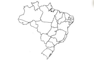
Please see the drawing tutorial in the video below
You can refer to the simple step by step drawing guide below
Collect references
Find a reference map of Brazil to use as a guide. You can use printed maps, images from the internet, or digital maps on your computer or tablet.
Step 1. Draw the eastern land boundary bordering the sea
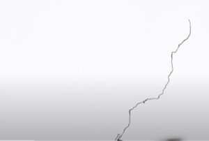
First draw the Brazilian land boundary with the sea as a 7,491 km long coastline adjacent to the Atlantic Ocean.
Step 2. Draw the southern border

To the south is a narrow border with Uruguay.
Step 3. Draw the western border
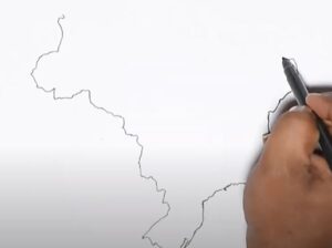
The west borders many countries such as Bolivia and Peru and Argentina and Paraguay to the southwest.
Step 4. Draw the northern border
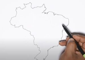
Brazil borders the following countries to the north: Venezuela, Guyana, Suriname and French Guiana to the north, Colombia.
Step 5. Add details of administrative boundaries of provinces (states) and cities
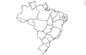
To clearly represent the map of Brazil, we divide the administrative boundaries of provinces (states) and cities into more detail and can label them with detailed names of provinces and cities.
Step 6. Complete the map and color it
Finally, color the map you just drew with suitable colors that are easy to see. If you divide the map into provinces and cities, color each administrative boundary a different color for easy identification. know.

