How to draw Japan map with this how to video and step by step drawing instructions. Easy Map Drawing tutorial for beginners and everyone.
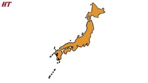
Please see the drawing tutorial in the video below
Japan is the name of an arc-shaped island country, with a total area of 379,954 square kilometers lying along the eastern flank of the Asian continent. The country is located east of Korea, Russia and China and stretches from the Sea of Okhotsk in the north to the East China Sea in the south.
You can refer to the simple step-by-step drawing guide below
Reference
First, we need to carefully consult the images of Japan on the internet or on the world map…
Step 1. Draw the major islands of Japan
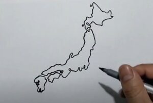
First, we draw Japan as an arc-shaped island country, with 4 large islands in order from North to South: Hokkaido, Honshu, Shikokh and Kyushu and draw the surrounding islands.
Step 2. Draw small islands
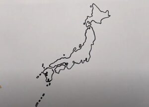
Draw small islands around big islands. Japan has thousands of small islands.
Step 3. Color the japan map

Finally you can divide Japan into 47 provinces, that requires meticulousness. To color Japan, you can use orange, yellow or blue depending on your preference. If you divide Japan into provinces, you can use many other colors to color the provinces. Provinces that are close together have different colors. Different colors for easy distinction.
You can see more map drawings:

