How to draw New zealand (map) with this how-to video and step by step drawing instructions. Easy drawing tutorials for beginners and all.
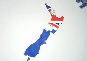
Please see the drawing tutorial in the video below
You can refer to the simple step by step drawing guide below
Gather Reference Material
Find a reference map of New Zealand to use as a guide. You can use a printed map, an image from the internet, or even a digital map on your computer or tablet.
New Zealand is an island nation located in the southwest region of the Pacific Ocean. Geographically, New Zealand includes two main territories: the North Island and the South Island, along with more than 600 small islands.
Step 1. Draw the northern part of the Island
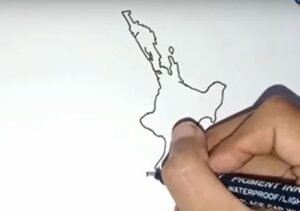
First, sketch the northern part of the island as shown.
Step 2. Continue drawing the southern part of the island
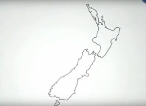
Next, draw the southern island of New Zealand, which has two main large islands. The southern island looks almost like a rectangle.
Step 3. Add details
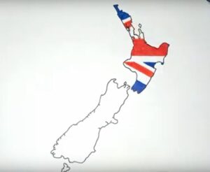
Next, on the map, draw a characteristic image of the flag on the map to highlight and easily recognize this country map.
Step 4. color the map

Finally, color the map you just drew. The 3 colors are blue, red and white.
