How to draw Ireland (map) with this how-to video and step by step drawing instructions. Easy map drawing tutorial for children and beginners.
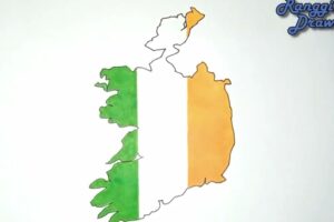
Please see the drawing tutorial in the video below
You can refer to the simple step by step drawing guide below
Gather Reference Material
Find a reference map of Ireland to use as a guide. You can use a printed map, an image from the internet, or a digital map on your computer or tablet.
The island of Ireland is located in the northwest of Europe. Ireland is bordered to the north and west by the Atlantic Ocean. In the Northeast, the Island of Ireland is separated from the British Isles by the Irish Sea and the North Channel, with the narrowest width of 23 km. To the east, the Irish Sea connects with the Atlantic Ocean through St George’s Strait and the Celtic Sea to the southwest. The island of Ireland has a total area of 84,421 km².
Step 1. Start with the eastern boundary
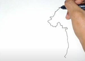
First, draw the eastern border adjacent to the St George’s Strait and the Celtic Sea connecting to the Atlantic Ocean.
Step 2. Next draw the northern mainland territory
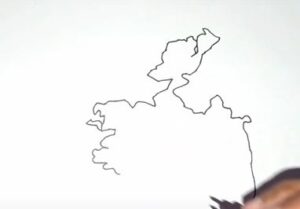
Northern Ireland borders the Atlantic Ocean with complex coastal terrain.
Step 3. Next draw the west coast
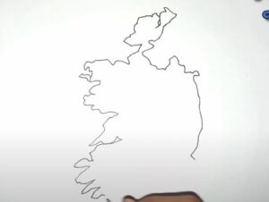
The west is also adjacent to the Atlantic Ocean, the coastal terrain is strongly cut and complex
Step 4. South coast
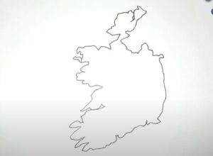
The southern coast is also strongly cut, adjacent to the Atlantic Ocean.
Step 5. Add map details
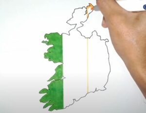
Use a 3-line ruler to divide the map of Ireland into 3 equal parts vertically to print the flag symbol on the map for easy identification.
Step 6. Color the flag

Color your flag in blue, white, yellow.
