Please see the drawing tutorial in the video below
India is a sovereign republic in South Asia. This is the 7th largest country in area and the most populous country in the world with a population of over 1.410 billion people to date. India borders the Indian Ocean to the South, the Arabian Sea to the West-South and the Bay of Bengal to the East-South. India has a land border with Pakistan to the West; with China, Nepal and Bhutan to the North-East and Myanmar and Bangladesh to the East. In the Indian Ocean, India borders Sri Lanka and the Maldives; Additionally, India’s Andaman and Nicobar Islands share maritime borders with Thailand and Indonesia.
You can refer to the simple step-by-step drawing guide below
Reference
First, to draw an accurate map of India, we need to research and refer to map images on the internet or in publications and newspapers…
Step 1. Draw the shape of the map of India
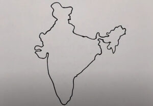
Start by drawing an outline across the mainland of the vast country of India, which is roughly shaped like an inverted triangle.
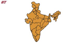
Step 2. Draw the states and federations
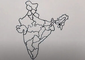
Drawing of states of india, indian territory consists of 29 states and 7 union territories.
Step 3. Coloring

Finally, complete the Indian map drawing by coloring the map you just drew, you can choose yellow, orange or any color or to easily distinguish the states of India, you can color the states. adjacent to each other in a different color.
