How to draw france map with this how to video and step by step drawing instructions. Easy map drawing tutorial for beginners and all.
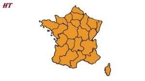
Please see the drawing tutorial in the video below
France is located in western Europe. France is bordered by the English Channel and Bay of Biscay to the west; Belgium, Luxembourg, and Germany to the north; Switzerland and Italy to the east; and Andorra and Spain to the south.
France also has a number of overseas territories, which include the following: Adelie Land (a claim on the Antarctic continent), the Crozet Islands, the Kerguelen Islands, Saint Paul and Amsterdam Islands, and The Scattered Islands.
You can refer to the simple step-by-step drawing guide below
Step 1. Draw the border of the mainland territory
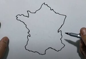
First, after carefully observing the map of France, we will draw the western border, followed by the north, east and draw the southern border to close the land map area.
Step 2. Draw the islands
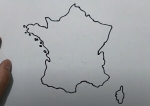
Next draw the large island in the southeast and small archipelagos in the west and northwest.
Step 3. Divide the regions
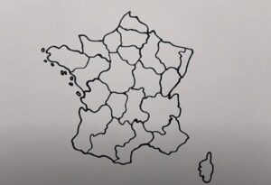
Next we will divide the French territory into regions. If possible, you can further divide it into provinces so the map will be more detailed, and even more difficult is to note the regions of France.
Step 4. Color the map

Finally, color the map. You can color France brown or color each area a different color. Adjacent areas must have different colors to easily differentiate.

