How to draw Argentina (map) with this how-to video and step by step drawing instructions. Easy map drawing tutorial for beginners and all.
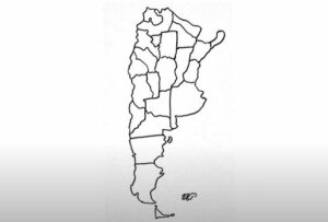
Please see the drawing tutorial in the video below
You can refer to the simple step by step drawing guide below
Collect references
Find a reference map of Argentina to use as a guide. You can use printed maps, images from the internet, or digital maps on your computer or tablet.
Step 1: Start with the western border
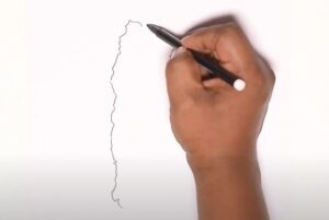
Start by drawing the shape of Argentina’s border with Chile (Argentina is located in South America and has a distinctive shape that tapers toward the south).
Step 2: Northern border
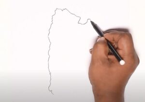
Next draw Argentina’s northern border with Bolivia and Paraguay.
Step 3: East of Argentina
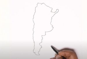
To the east, the country borders Uruguay and the Atlantic Ocean. Ending with the southern territory, it has a pointed shape like a triangle corner.
Step 4. Draw islands and peninsulas
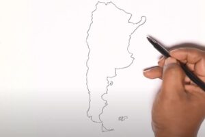
Next, draw the southern peninsula and the islands of Argentina.
Step 5: Divide the boundaries of provinces and cities
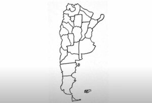
Finally, divide Argentina with the administrative boundaries of provinces (states), cities and can make detailed notes on city names
Step 6. Color the map
You can optionally choose the appropriate color to color the map you just drew.
