How to draw South Korea (map) with this how-to video and step by step drawing instructions. Easy map drawing tutorial for beginners and all.
Please see the drawing tutorial in the video below
You can refer to the simple step by step drawing guide below
Step 1.

Start by drawing the land boundary with the sea to the east, with a slightly diagonal line facing northwest.
Step 2.

Continuing to draw the border with North Korea, South Korea and North Korea are two countries on the same peninsula.
Step 3.

Continue drawing the land line to the west sea.
Step 4.

Complete the map of the Korean mainland by drawing the southern boundary which is a bumpy road as shown.
Step 5.

Finally, complete the map of Korea with the islands of this country, with many large and small islands around.
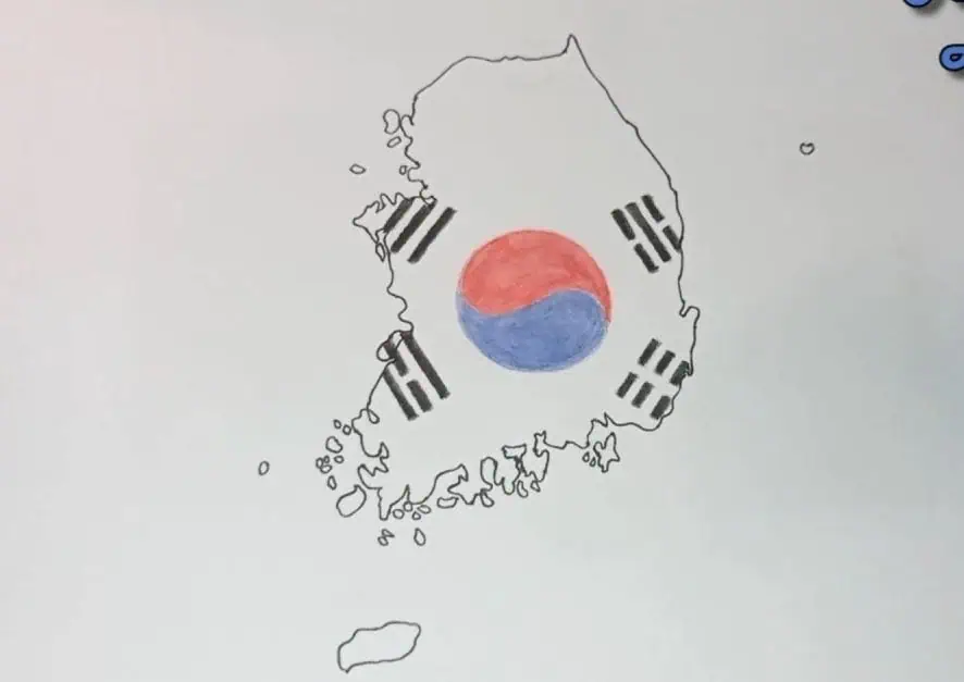
Step 6.
And to complete the map, we draw a flag symbol on the map to easily identify this country.